
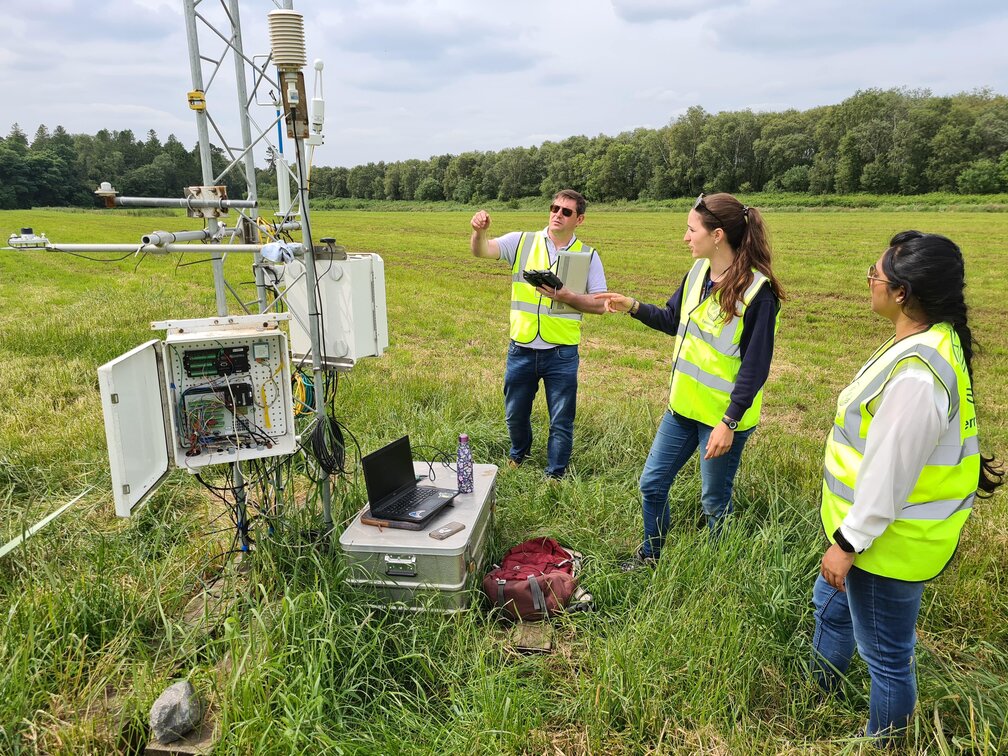
A videography team were on-site at Lullymore on 22nd June to capture video footage of Terrain-AI […]

Terrain-AI Aerial-survey team passing over Carlow town at 1,200ft Saturday 29th May 2021 en-route to survey […]

Carbon Mapper and its partners the State of California, NASA’s Jet Propulsion Laboratory (NASA JPL), Planet, […]

Abstract Drainage and conversion of natural peatlands into forestry increases soil CO2 emissions through decomposition of peat […]

Following months of planning, final checks are now underway for the start of the Aerial Surveys […]

Terrain-AI PIs Tim McCarthy and Rowan Fealy presented Terrain-AI at the Derilinx Open Data Impact Series on 20th April. The […]

